Before the famous (or perhaps infamous) Interstate 5, the primary route from Oregon to California was a rough pack trail. The California & Oregon Trail in the 1820s and 1830s helped hunters and fur trappers explore the area and, eventually, enabled countless settlers to find new lives across the American West.

Discovering the California Trail
Like many major thoroughfares of the 19th century, the California Trail didn’t appear overnight. Prospectors and settlers would one day flock to it, but it came from humble beginnings.
Who Discovered the California Trail?
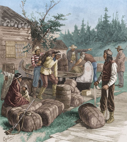
At first, the trail wasn’t a unified path. Parts of it started as simple footpaths used by Native Americans. Members of the Hudson’s Bay Company, a Canadian fur trading organization, were the first non-Natives to discover the trail.

When Was It Established and What Was Its Purpose?
When was the California Trail established? It all started in the 1820s when the Hudson’s Bay Company used what became the northern portion of the trail. It wasn’t until the 1830s that they started using the entire route to distribute their furs along the West Coast.
The trail ran from the Willamette Valley in Oregon to California’s Sacramento Valley. Most people referred to it as the “H.B.C. Trail” at first.
So, what was the purpose of the California Trail? As mentioned, it started as a trail for hunters, trappers, and traders. By the 1840s, however, it was both a pack trail and a pathway suitable for wagons.

Navigating Overland Trails in Northern California
California’s overland trails eventually became the highways we travel today. But long before they were paved thoroughfares, they were long and difficult to navigate.
Understanding the Overland Trails in Northern California
The overland trails were developed to help trappers (and later, prospectors and settlers) follow the easiest routes traveling north, south, and west.
The California Trail in the 1820s and 1830s
The California & Oregon Trail in the 1820s and 1830s was specifically designed to help travelers avoid muddy, marshy stretches of land while moving north or south. For those headed to the coast, the trail followed a mostly flat path along the Umpqua River.
Mapping the California Trail in 1849
This may be one of the most interesting parts of the trail’s development. T.H. Jefferson, an enigmatic and almost-untraceable traveler, was the first to publish a map of the trail.
Even though his map helped popularize and legitimize the trail, historians know almost nothing about Jefferson except that he came to California in 1846. Some historians think he may have been Thomas Hemings Jefferson, the son of Thomas Jefferson and Sally Hemings. Unfortunately, the answer to that mystery seems to have been lost to time.
Journeying from Oregon to California
This trip was arduous when traveling on horseback or by stagecoach. Eventually, however, the advent of rail travel made it significantly faster and easier.
The Route: Traveling by Train from Oregon to California
By 1887, the Oregon and California Railroad had been completed. Like the original trails, it crossed the Siskiyou Summit and covered approximately 700 miles from Portland to California.
Exploring the Old Oregon Trail (California)
Today, the Old Oregon Trail passes through privately owned land, so you can’t travel the whole trail uninterrupted. However, the National Park Service maintains a list of accessible sights and things to do on the trail. If your ancestors once traveled this trail, it’s an outstanding way to better understand your history.
Primary Routes of Travel in 1800s California
Today, there are plenty of ways to get from Point A to Point B. The same was true in 1800s California.

Photo credit: https://depositphotos.com/home.html
Uncovering the Primary Routes of Travel in 1800s California
Although the California and Oregon Trail was the most prominent route, several travel routes developed over the years, including the following:
- Truckee Trail (to Sacramento Valley)
- Placerville Route (across the Sierra Nevada)
- Carson Trail Route (to the American River and Placerville)
- Henness Path Route (across the Sierra Nevada)
Interestingly enough, the Placerville Route and Henness Path Route were some of the nation’s first toll roads.
The California Trail as the Key Route
Despite several other routes travelers could take, the California Trail was the main thoroughfare from the 1820s until about 1848. After this point, the Carson Trail Route became the most popular for a couple of reasons: it was the most accessible trail in terms of terrain; and it led right to Placerville, one of California’s major gold mining regions.
Other Major Travel Routes in California during the 1800s
Most travelers in the 1800s used either the main California Trail, the Truckee Trail, the Placerville Route, the Carson Trail Route, or the Henness Path Route. However, as more people headed west, other travel routes became available.
Most of the trails that crossed the Sierras were inaccessible during the winter. Fortunately, settlers had the option of the Mormon Road, which extended from Salt Lake City to Los Angeles. Prospectors searching for gold often took the Southern Emigrant Trail, the Stockton-Los Angeles Road, and the El Camino Viejo.

Photo credit: https://depositphotos.com/home.html
California Trail Map 1849
In the beginning, there was no map of the California Trail. That changed in 1849, as mentioned, when T.H. Jefferson created the first known map.
However, his map did more than just document the route. Jefferson marked suitable campsites along the way and offered tips for successfully traversing the desert. He noted that before crossing the trail’s desert section, travelers should ensure they had enough grass and water for their livestock.
Even though Jefferson’s map was a beneficial resource for travelers (and a fascinating part of California’s history), it was almost lost to time. Historians today only know of three surviving copies.
The Old Oregon Trail in California
The Oregon Trail is probably the most famous westbound trail in American history. It stretched 2,170 miles from Independence, Missouri, to Oregon’s Willamette Valley.
However, not everyone knows that settlers had the option to split from the trail to head toward California. Travelers could get on the California Trail at Fort Hall (located on the Snake River). Roughly a third of the travelers on the Oregon Trail had California as their destination.
Exploring Overland Trails in Northern California
For prospectors, settlers, and other travelers in the 1800s, exploring Northern California’s overland trails was a fascinating yet challenging adventure. There’s no better way to celebrate your ancestors’ accomplishments than to visit and experience Northern California’s overland trails.
Today, you can explore both old and new trails in this breathtakingly scenic part of the country. Here are just a few highlights:
- El Dorado Backcountry Discovery Trail
- Lost Sierra Trail
- Redwood Coast Adventure Trail
- The California Crest Trail
This is only a sampling of the Northern California trails you can travel. Whether you want to drive, cycle, walk, or even travel on horseback, there’s a way for you to explore the overland trails Northern California has to offer.
The California Trail in the 1820s and 1830s
During this period, the California Trail was the main overland route to California. California was still part of Mexico, and a large portion of travelers opted to go there by sea. It wasn’t until the Gold Rush of the late 1840s that the trail became heavily used.
What Was the Primary Route of Travel in the 1800s in California?
The California Trail was the main travel route in California in the 1800s, although several other trails eventually branched off from it. Not surprisingly, the Oregon and California Railroad followed a similar path when it was completed. Travelers could make the same trip as before, but rail travel made it faster, easier, and safer.
Travel the Trails of Time with GenealogyBank
The California and Oregon Trails are a fascinating part of West Coast history. If you’ve ever driven along Interstate 5, you may well have traveled the same route your ancestors did centuries ago.
Interested in learning whether your relatives traversed these historical trails? GenealogyBank lets you trace your family history like never before. When you explore our collection of newspaper archives, you’ll discover firsthand accounts that make your ancestors’ stories come alive.
Explore over 330 years of newspapers and historical records in GenealogyBank. Discover your family story! Start a 7-Day Free Trial
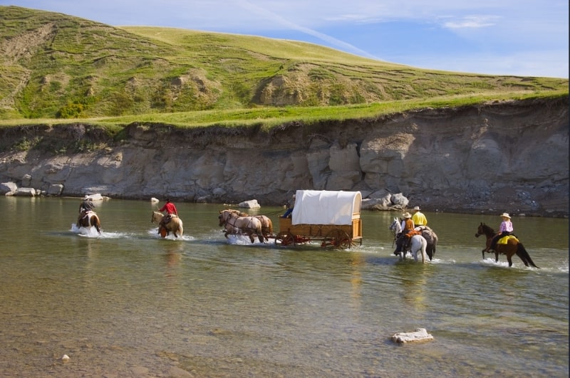
Note on the header image: covered wagon. Photo credit: https://depositphotos.com/home.html
