Introduction: Mary Harrell-Sesniak is a genealogist, author and editor with a strong technology background. In this guest blog post, Mary shows some of the unique historical maps that can be found in old newspapers, and proposes a fun “gencaching” game to find more of these maps.
Some of the greatest tools of genealogical research are historical maps—but one place we often forget to search for them is old newspapers.
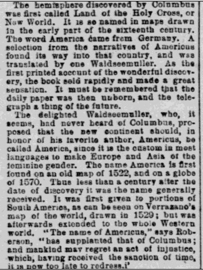
Perhaps it is because we don’t expect to find historical maps in newspaper archives. Some old maps, such as the Sanborn Fire Insurance Maps (published 1867-2007), and one by Waldseemüller (the first to name the continent as America), are mentioned in historical newspaper articles but not shown.

However, many other historical maps were published in newspapers. So what types of old maps can we expect to find in newspapers?
Delve into GenealogyBank’s historical newspaper archives and you’ll note an extraordinary and unique set of cartographic images used to illustrate articles and advertisements.
These historical maps include—but are not limited to—battles, explorations, relief expeditions, and transportation routes, along with proposed and completed municipal, state and national projects. The renditions offer an exciting opportunity to further your family history research, as the majority of these maps printed in old newspapers were not published in books.
Since they were often overlooked, newspaper maps were usually not indexed or cataloged by libraries and historical societies.
“Gencaching” Game to Find Historical Maps
For me, newspaper map searching is a bit like geocaching, the popular activity of treasure hunting using a GPS (global positioning system) to find items hidden away by others—only what you are looking for was placed by the newspaper publishers of yesterday.
To extend this concept to a lineage society or genealogy friend activity, try constructing a “find and seek, or gencaching” game by using GenealogyBank’s search engine to create clues regarding map treasures, such as landmarks that are no longer existent.
If you find some unusual treasure maps, we invite you to share your “gencaching” finds on our blog page in the comments section. Historical map finds that you share with us may be the subject of a follow-up GenealogyBank blog post.
Here are some of the historical maps—and mentions of maps—that I found in GenealogyBank’s newspaper archives.
The Great San Francisco Conflagration
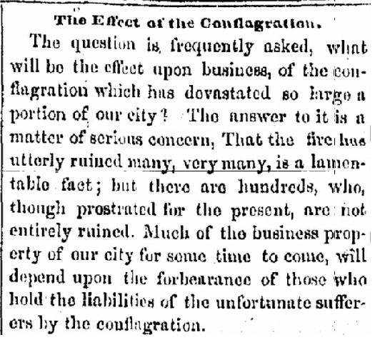
San Francisco suffered a massive fire on 3-4 May 1851, as noted in this California newspaper article.

This massive fire devastated an area known as the Burnt District, and articles and maps were published across the country about the disaster, including this one from a New York newspaper. In this historical San Francisco map, one sees a simple and clear presentation of the burned areas showing the specific street names.
Historical Military Maps
One can find military skirmish and old battle maps published in newspapers during times of war, including this one from the American Civil War published in an 1864 Pennsylvania newspaper.
This old Civil War map depicts the “Scene of the Great Battle of Tuesday, May 10th, between Generals Grant and Lee” at Spotsylvania during the Great Virginia Campaign. Note that the basic layout shows landmarks, such as the church and old court house, along with the Po River.
This next example, from a 1918 Oregon newspaper, is a historical map of a battle line from World War I. The sector occupied by the American Army in the Lorraine region of France was noted as being close to the German border.
Expeditions and Exploration Maps
As our ancestors explored unchartered territories, expeditions were exciting news. You’ll find numerous newspaper articles about these adventures and explorers, including this piece mentioning the Duke of Abruzzi, Amundsen, Cook, Hedin, Nansen, Perry, and others.
So, it should not surprise us that in 1879 a ship named the Jeanette departed San Francisco Bay with 10,000 people waving and cheering. Perhaps your ancestors were in that enthusiastic crowd—or explorers aboard the ship?
If so, they saw Lt. Commander George Washington DeLong and his small crew of 33 civilians, officers and enlisted men take off for the North Pole—not knowing that only a few of those brave explorers would make it back two years later.
The jubilant sending-off of the Jeanette—and an explanation of the purpose of the voyage—were reported in this 1879 New York newspaper article.
Once in the Arctic, the crew became shipwrecked and suffered great hardships.
What a harrowing experience it must have been to be stuck in the ice, and even more horrifying when the ice’s crushing weight destroyed the Jeanette’s hull. They were forced to transport three small lifeboats with equipment and supplies overland, with a plan to sail for the Lena River Delta on the Siberian coast. Despite becoming separated and suffering more hardships, some members of the ship’s crew survived. During a return trip, they were able to locate important items, including the log book.
This 1881 Massachusetts newspaper article is one of many that tell the story.
You’ll also find numerous newspaper articles and maps pertaining to Norwegian explorer Roald Amundsen, the first expedition leader to traverse the Northwest Passage, as well as the first to reach the South and North Poles.
Civic Project Proposals
When researching civic projects read all the discussion pieces you can find in the newspapers, and complete follow-up research to verify project rejections and changes. Whenever proposals adversely affect an area, opponents typically offer counter-proposals—and you’ll find their arguments covered in the newspapers as well.
One of the advantages of project proposal newspaper articles is that they may describe earlier time periods, as seen in this 1860 series from a New York newspaper titled “Sketch of Building Operations in Progress in the City.”
Maps of Transportation Projects
As railroads, steamships and other transportation systems expanded, newspapers provided maps. One of the lesser-known projects was Philadelphia’s 1872 Moyamensing Avenue Railroad project, as shown in this map from a Pennsylvania newspaper.
Other Types of Maps in Newspapers
In addition to the examples of newspaper maps shown in this blog article, you’ll find historical maps showing the results of natural disasters, aerial views, reliefs, and even tourist attractions—such as this 1922 map of Pikes Peak and the city of Colorado Springs from a Colorado newspaper.
The more noteworthy or unusual the event or place, the more likely it is that you will find a newspaper article with an accompanying map.
So head to GenealogyBank’s historical newspaper archives and start researching historical maps and articles about maps. You may wish to limit the query to the Photos & Illustrations category, and add keywords such as the type of map (aerial, relief, illustration, etc.).
GenealogyBank also offers a newspapers search page specifically for Historical Maps.
Good luck with your map searches and remember to share your unique finds with us. Your map just might get featured in an upcoming blog post. Happy hunting!